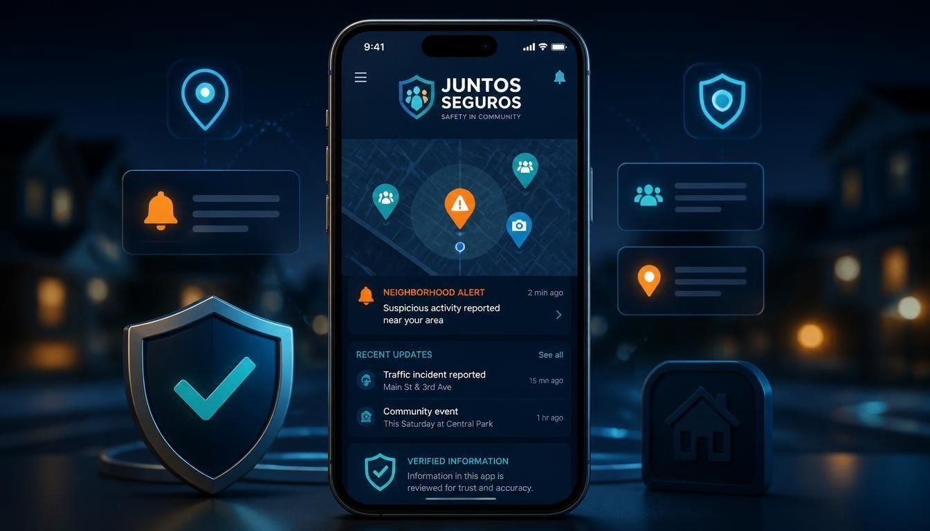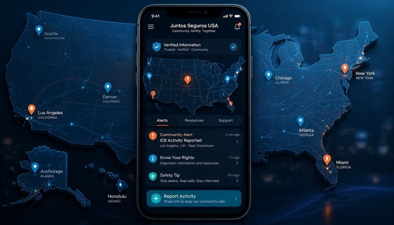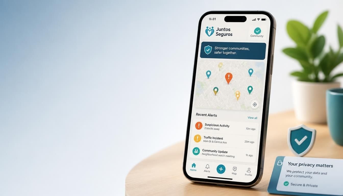
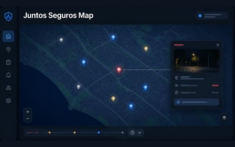
The Juntos Seguros map is an interactive community safety map designed to organize location based reports in one visual interface. Instead of relying on scattered messages, users can view reported activity on a map and open individual markers for more information.
The map has been associated with reports concerning immigration enforcement activity, including ICE related reports. Its main purpose is to make community submitted information easier to view by location.
What Is the Juntos Seguros Map?
The Juntos Seguros map is a digital map that displays community submitted safety reports according to their reported location.
A map based format makes it possible to see where reports have been submitted without reading through long conversations or searching across different community channels.
Depending on the version of the platform being referenced, map information may include reported ICE activity, checkpoints, workplace activity, neighborhood reports, or other safety related information.
How the Juntos Seguros Map Works
The basic process is simple.
A community member submits information about an observed event. The information is then represented on the map as a location marker. Users can select a marker to see the information associated with that report.
A typical report may contain:
• The reported location
• The time of the observation
• A description of what was reported
• Additional information provided by the person submitting the report
This structure allows users to view individual reports while keeping the overall map easy to navigate.
Understanding Map Markers
Map markers are used to connect a report with a specific location.
When a user selects a marker, the available details can provide more context about the report. This is more useful than looking only at a pin because the location itself does not explain when the report was submitted or what was observed.
Some versions of the Juntos Seguros map describe different marker categories for active reports, cleared reports, checkpoints, workplace activity, and neighborhood presence. However, users should check the labels and information displayed on the specific map they are using because features can change between versions.
Community Reports Are Central to the Map
The Juntos Seguros map depends on information submitted by people within the community.
This community reporting model allows information to be shared without requiring every user to search for updates independently. A person who sees or receives relevant information can potentially contribute it to the shared map.
At the same time, community submitted information should be treated carefully. A report represents information provided by a contributor and may become outdated as circumstances change.
For that reason, the time and details attached to a report are important when interpreting what a map marker means.
How to Read Information on the Map
Reading the Juntos Seguros map involves more than looking at colored markers.
Start by checking the location of the report. Then look at when it was submitted and read the description attached to it.
It is also useful to look for newer reports from the same area. A recent update may provide information that changes the context of an older marker.
A practical approach is to consider:
• Where the report was submitted
• When the information was added
• What the contributor actually reported
• Whether there are newer reports nearby
• Whether the information can be confirmed through another reliable source
This helps prevent an old or incomplete report from being interpreted as a current situation.
Juntos Seguros Map and ICE Related Reports
The Juntos Seguros map has been closely associated with ICE related community reports.
In this context, the map provides a visual way to organize reports about possible immigration enforcement activity. Users can view reported locations and open individual entries for additional information.
The map should not be confused with an official ICE tracking system. Community maps and government sources serve different purposes, and a community submitted report should not automatically be treated as an official confirmation.
Reporting Information to the Map
Community reporting is an important part of the Juntos Seguros model.
Platforms describing the Juntos Seguros map allow users to submit information through a reporting function. Depending on the platform version, users may be able to select an activity category, identify a location, and add relevant details before submitting the report.
Useful reports should focus on factual observations rather than assumptions. Clear information about what was observed, where it happened, and when it happened can make a report easier for others to understand.
Users should also avoid including unnecessary personal information when submitting community reports.
Why a Map Format Is Useful
A map can make location based information much easier to understand.
A list of messages may contain several locations mixed together, making it difficult to determine which information is relevant to a particular area. A map places those reports into a geographic context.
This can help users quickly understand whether reports are concentrated in one area or spread across different locations.
The visual format also makes it easier to focus on a specific neighborhood or region instead of reviewing unrelated information.
Juntos Seguros Map on Mobile Devices
The Juntos Seguros map can be accessed through web based platforms that present the map in an interactive interface. Some Juntos Seguros websites also describe mobile access and app based features.
Mobile access can be useful when users need to view location based information while away from a desktop computer. However, the exact features available depend on the current platform and version being used.
Accuracy and Limitations
No community reporting map should be treated as a guaranteed source of real time information.
Reports can become outdated, circumstances can change after a report is submitted, and information provided by community members may not always be independently confirmed.
Some Juntos Seguros pages claim that reports are verified before publication, but those claims vary between websites using the Juntos Seguros name. Users should therefore examine the specific platform, its reporting process, and the date of each report rather than assuming that every map marker has the same level of verification.
For important legal or immigration decisions, community map information should not replace advice from a qualified immigration attorney or official government information.
Juntos Seguros Map and Privacy
Privacy is another important consideration when using community reporting platforms.
Before submitting a report, users should understand what information the website collects and how submitted information is handled. Avoid sharing names, home addresses, photographs, vehicle information, or other personal details unless there is a clear and legitimate reason to provide them.
Different websites using the Juntos Seguros name may have different privacy practices. Checking the privacy policy of the specific website is therefore important before creating an account or submitting information.
The Difference Between a Community Map and an Official Source
The Juntos Seguros map is best understood as a community information tool rather than a replacement for official sources.
A community map can organize local reports and make them easier to view. Official agencies, on the other hand, publish information through their own government channels.
These sources can serve different purposes. Using the map for community awareness while checking important information against appropriate official or professional sources provides better context than relying on a single report.
Juntos Seguros Map Explained
The Juntos Seguros map provides a visual way to organize location based community reports. Its central concept is straightforward: information submitted by users is connected to locations so other people can view reports in a geographic context.
For ICE related information, the map has been presented as a way to view reported immigration enforcement activity and related community updates.
The most important thing when using the map is to consider the location, timing, description, and reliability of each report. Community information can be useful, but it should always be understood within its limitations.